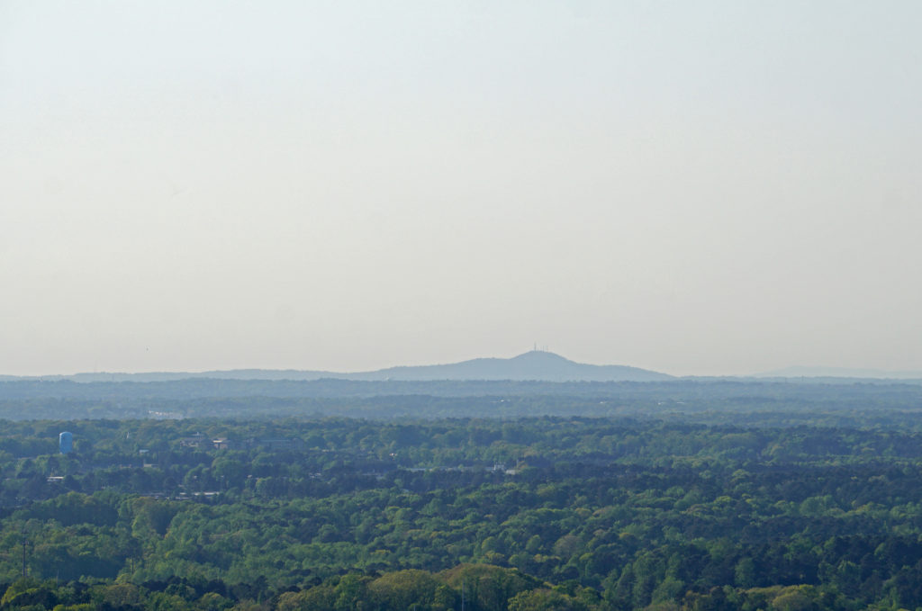
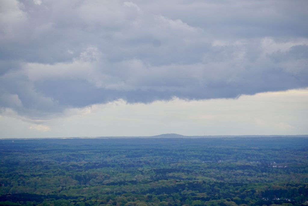
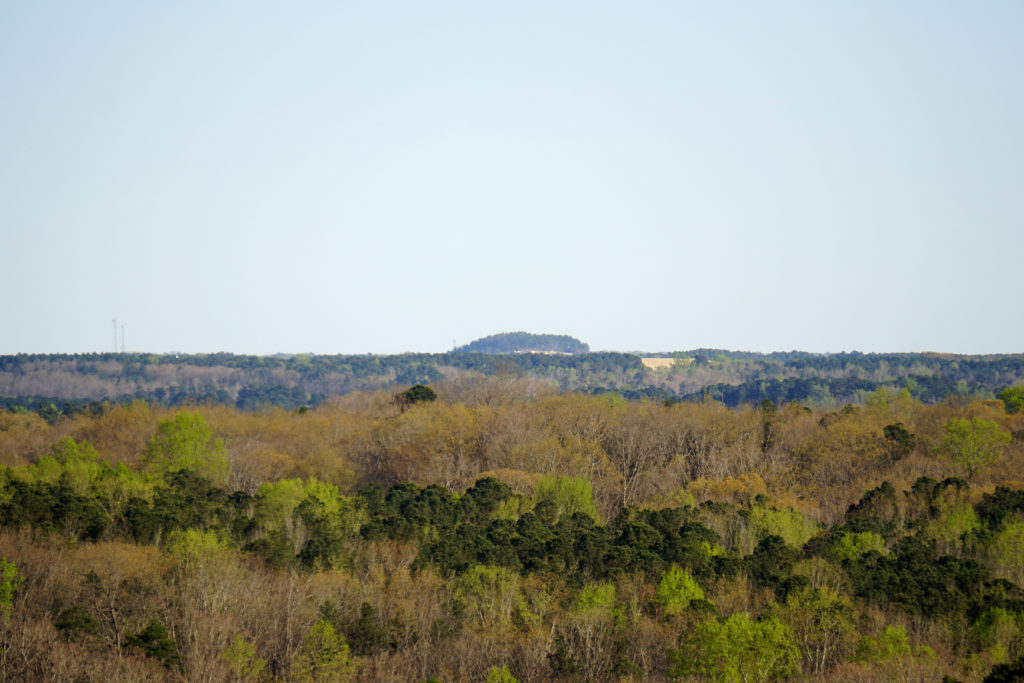
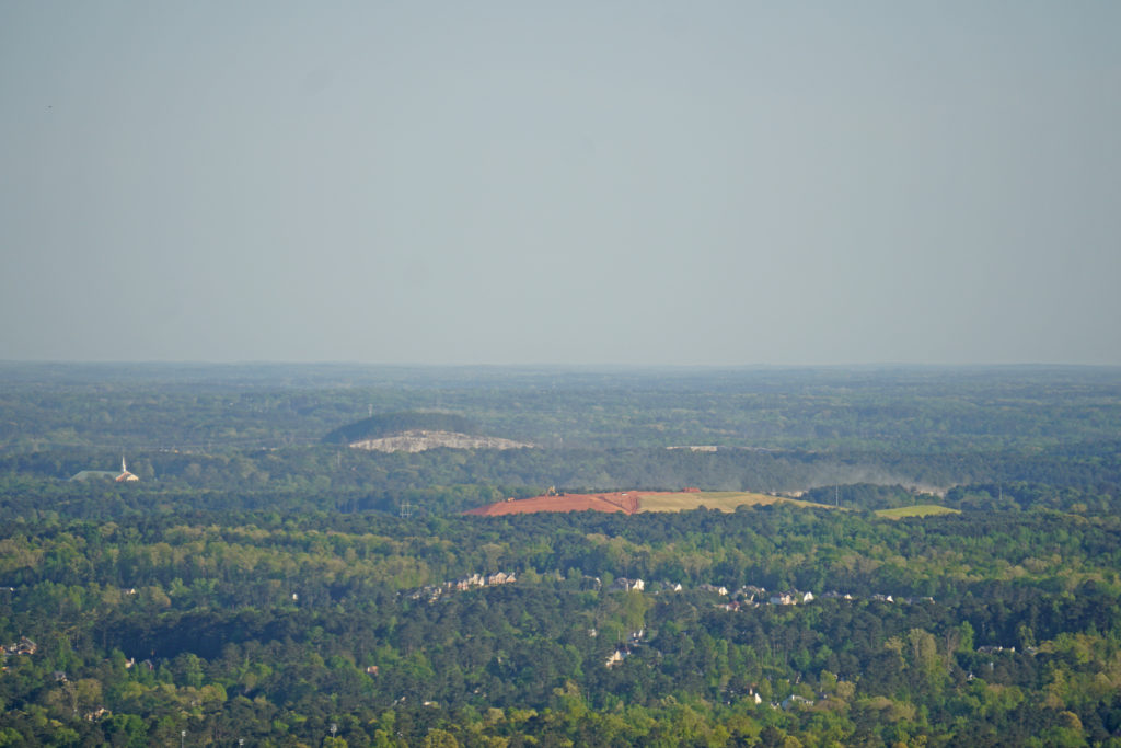
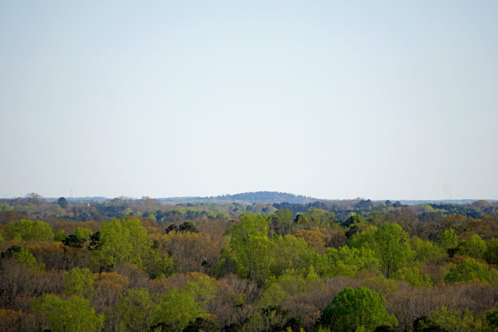
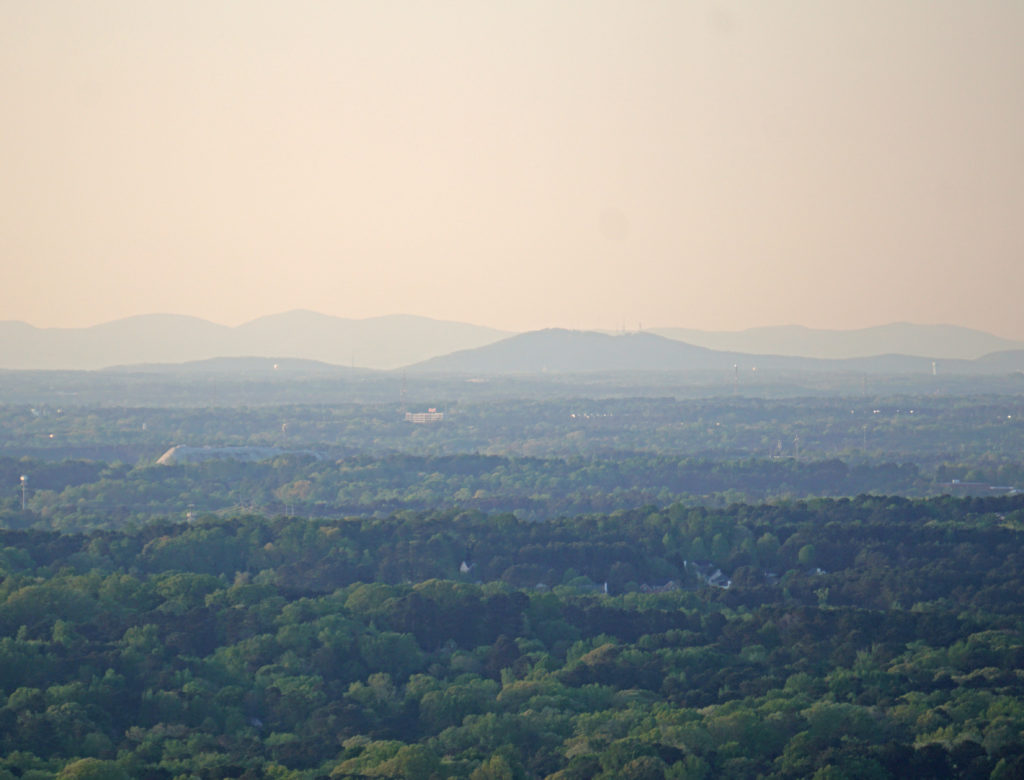
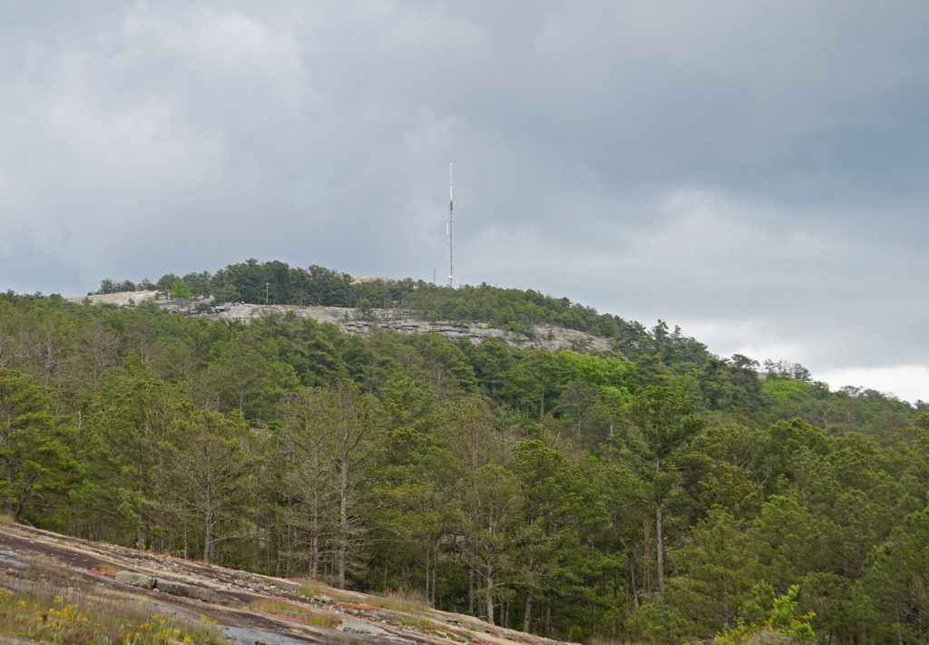
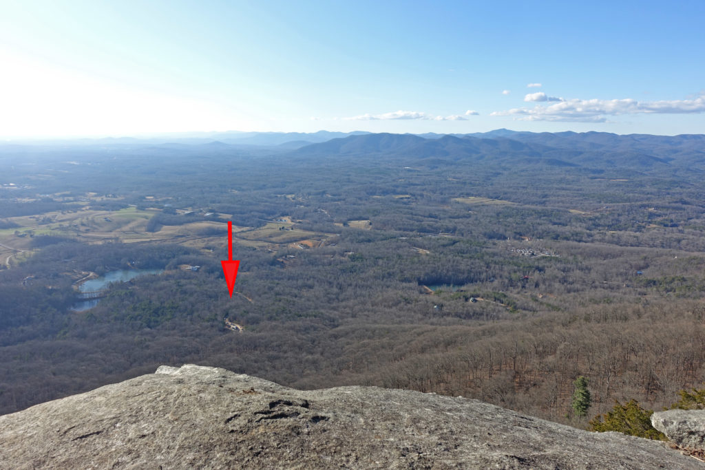
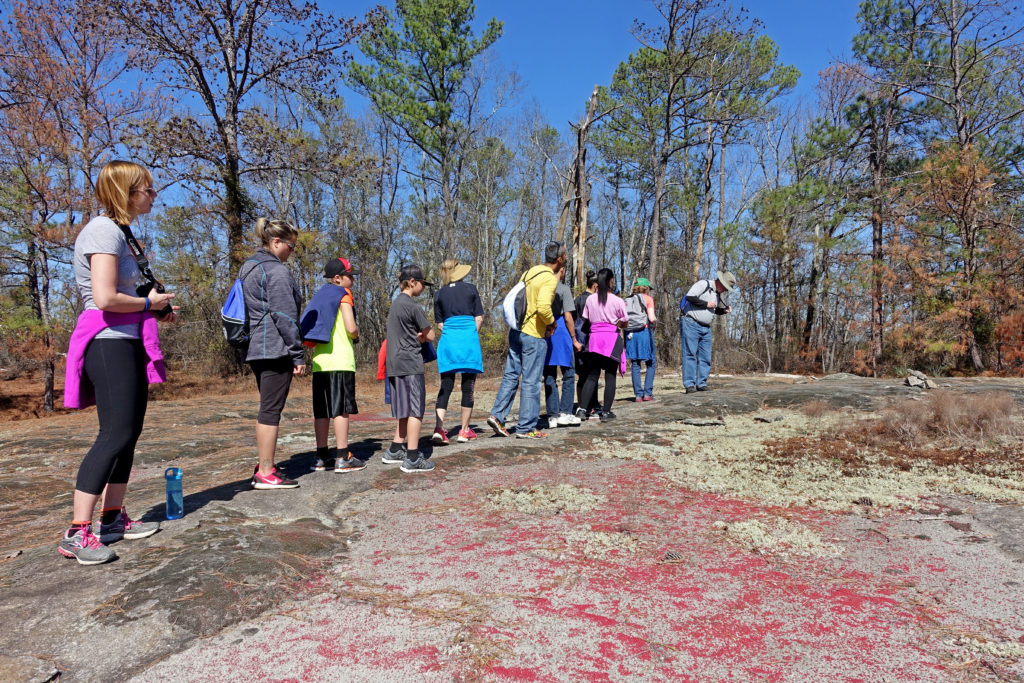
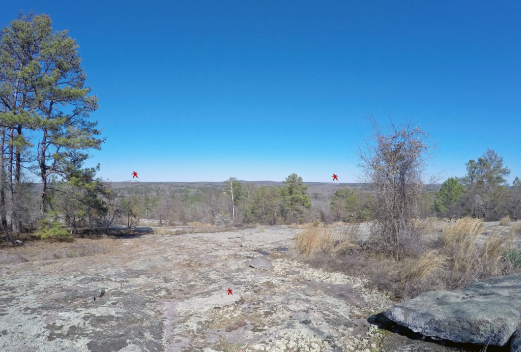
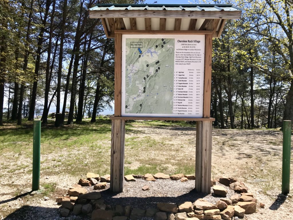
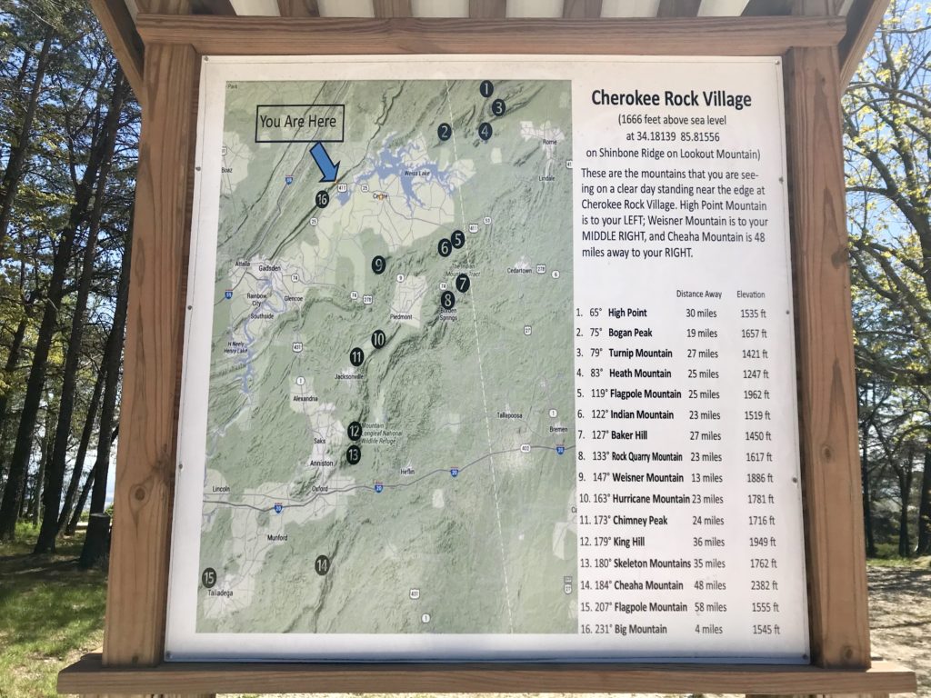
“What’s over there?” “What’s that?” Questions one overhears a lot on top of Stone Mountain — especially on a clear day with its 360-degree view. Often, a helpful mountain regular will chime in while pointing, and the extent of the quick orientation usually sounds something like this: “There’s the airport. That’s Atlanta. That’s Buckhead. That’s Kennesaw Mountain.” Lots of guessing goes on! And there is truly so much more that one can see from on top of Stone Mountain. I’ve long wished there were a thoughtful display at the top of the mountain, such as those one often finds at state and national parks, that listed the points in the distance, especially the surrounding mountains. So much so that I recently envisioned a hand-held wheel chart and went so far as to call Datalizer to get an estimate. So, to be cost-efficient and expedient, I just knuckled down and created a basic chart using Keynote on my Mac to show a list of various points, their bearings, and their distances in miles from the top of Stone Mountain (of course, now I’ve now got my sights on creating an iOS app that could work in tandem with the phone’s compass set to true north).
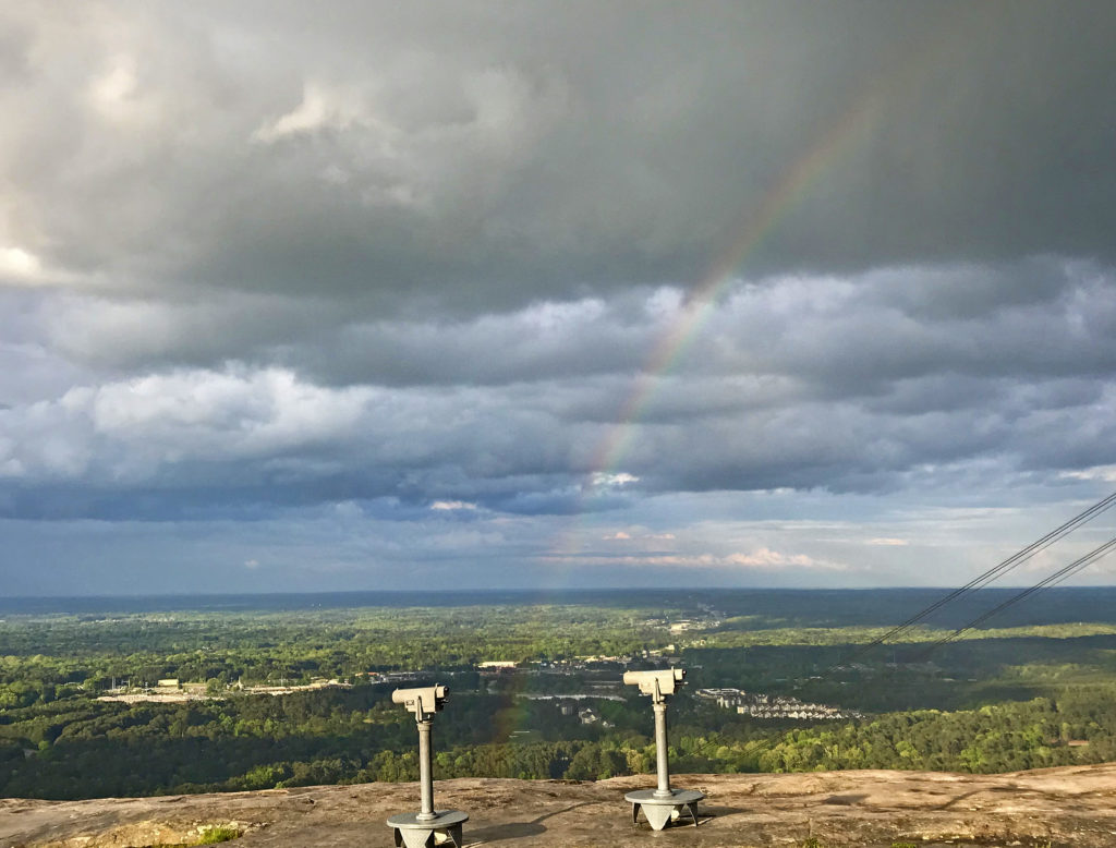
As a regular hiker of the mountain’s walk-up trail, it’s easy to forget that some park visitors may only ever experience the summit very briefly after a two-minute ride up on the skylift (would you believe I’ve never ridden it!). And it’s many of these tourists from all over Georgia, the U.S., and abroad that so often want to know what they are seeing all around them in the distance, particularly since there are eight 25-cent viewers up there. Honestly, even locals of all ages constantly wonder aloud about everything they can see from the top of Stone Mountain. Last Sunday evening I even heard a father humbly trying to explain north, south, east, and west to his young son as they waited for the sunset. Also last week, a little boy marveling at the view over the fence asked me if it’s possible to see Panola Mountain or Arabia Mountain from Stone Mountain. One can see the general Arabia Mountain Heritage Area, but as Bill Donnelly, a hiking guide at Panola Mountain State Park explained, a 1,000' ridge in Lithonia mostly obscures Arabia Mountain from being seen from Stone Mountain (and vice versa) except, I suspect, for a broad brown area visible on a clear day (see gallery below for drawing), but one can see Stone Mountain and Arabia Mountain from Panola Mountain (see gallery). I keep thinking what a useful and powerful educational tool a sign or two up there would be in terms of helping people interpret and understand their surroundings. What a celebration of the region’s mountains, too!
So how do you find the exact top of Stone Mountain? While there are three brassy geodetic markers at the summit placed long ago by the National Geodetic Survey, they are set slightly apart and most people either do not notice them or do not know what they mean. Many do not even realize the walk-up trail is on the west ridge of the mountain and that the carving is on the mountain’s north face. But, over time, the mountain regulars have surmised that standing roughly in the center of the three geodetic markers places one at the top (an average of the three), and they even “check-in” with a tap of their feet upon the center marker to make it official they’ve reached the top. Therefore, these data points reflect bearings taken with my iPhone compass set to true north (as opposed to the phone’s default setting of magnetic north, which I had not thought about since grade school!), while standing roughly in the center of the three above-mentioned geodetic markers on top of the mountain. The bearings are listed in clockwise order from 0-degrees (true north) to 359-degrees (true north), and the distances in miles shown were also measured from this point. I set out to include as many key points as I could but look forward to adjusting this list as new "discoveries" are made. Wherever possible, for now, I have removed commercial points such as shopping centers and specific park attractions to better focus on the natural environment, particularly mountains on the horizon. Occasionally a point inside the park is included for reference only, even if it pains me to include a lake named after a white supremacist (Venable Lake) or a venue across from the Confederate carving (Memorial Hall). Also, while not every mountain listed here is technically visible from Stone Mountain’s summit, some were worth including nonetheless for their regional significance, such as Blood Mountain, the highest peak in the Georgia section of the Appalachian Trail or Brasstown Bald being Georgia's highest point, or to offer more geographic orientation.
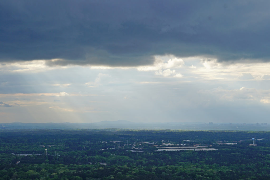
I have always loved that one can see Stone Mountain from Panola Mountain and Kennesaw Mountain, and it’s even visible from Brasstown Bald on a really, really (I mean really!) clear day. But, seriously, one of my personal favorite revelations while creating this chart was recently figuring out which mountain appears just to the right of the Buckhead skyline (the sun will be setting directly behind it any day now). Pretty darn sure it’s none other than Lost Mountain! But I didn’t arrive at this conclusion on my own. In fact, as I developed this “Stone Mountain Compass,” I emailed a good deal with Bryan Feldman, of StoneMountainGuide.com, which offers an Android app he created awhile back with a “Summit View” feature that is similar in spirit and function to this “Stone Mountain Compass,” though less comprehensive, as he focuses a great deal more on the park's commercial attractions and venues. With his engineering background from Georgia Tech, you bet I leaned on him when it came to compiling the bearings and distances for this chart, and we met several times on top of the mountain to check and recheck measurements, while I zoomed in as close as I could to peak after peak in the distance.

Just to the right of Buckhead is most likely Lost Mountain in Cobb County, as seen from Stone Mountain. 
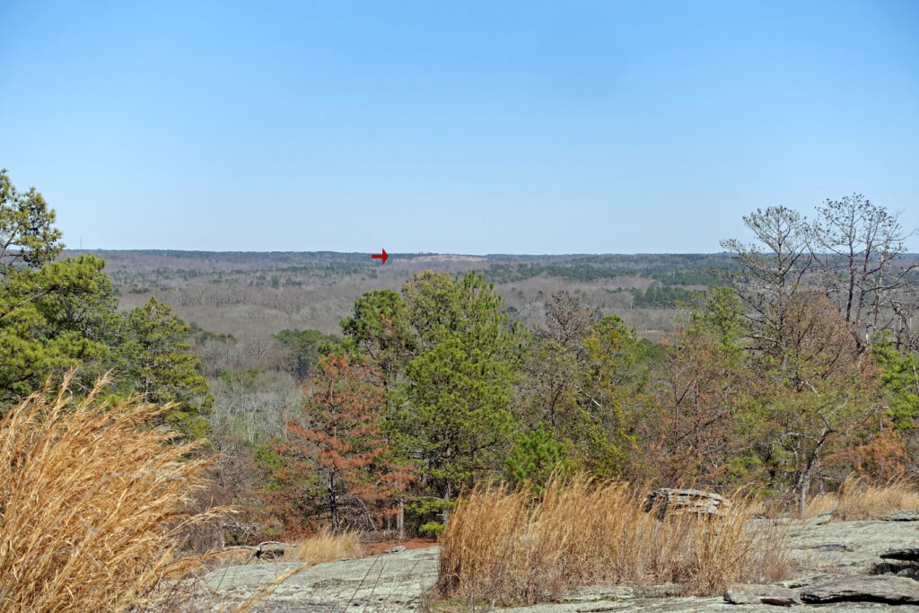
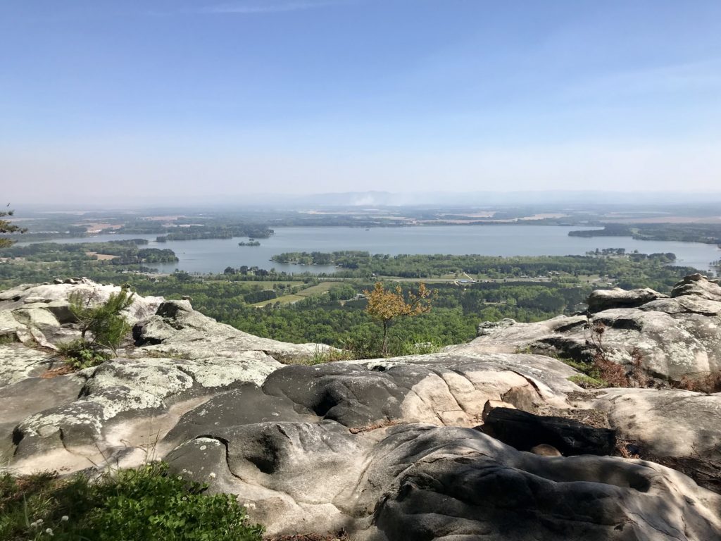
I hope you will be as excited to learn more about nearby Sweat Mountain, Alcovy Mountain, Cherokee Rock Village, and so many more — many of which I look forward to exploring (or visiting again) and occasionally chronicling here! It feels like I’ve lived and breathed earth sciences for almost two weeks now, and at this point I’m not sure if I’m more excited to know so much more about my surroundings — new mountains! new history! — or that I made friggin’ pie charts and donut charts this late in life (I haven't even shown you the 3-D ones). Actually, my crash course in orientation and using my phone’s built-in compass was pretty impressive and eye-opening, and I'm am strutting like a scientist a little inside. But, and not to end this post on a down note, I do want to be realistic and remind readers that even the natural infrastructure in this region, from mountains to lakes, such as Lake Lanier and Currahee Mountain, came so often to take on the Civil War, Confederate, or a general military narratives and names. Please remember that these were first mountains, gifts of the earth and home to Native Americans and generations of plant and animal life, well before so many of their "histories" became, in some cases, so singularly associated with military battles or mutinies against Native Americans that later morphed into myths and legends about the Indians which were designed to justify brutality or coercion used in the taking of their lands. I guess what I'm getting at is that the mountains are the mountain!


